
Rethel topographic map
Interactive map
Click on the map to display elevation.
About this map
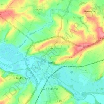
Name: Rethel topographic map, elevation, terrain.
Location: Rethel, Ardennes, Grand Est, Metropolitan France, 08300, France (49.49133 4.33779 49.53835 4.42439)
Average elevation: 315 ft
Minimum elevation: 220 ft
Maximum elevation: 482 ft