
Kjevik topographic map
Interactive map
Click on the map to display elevation.
About this map
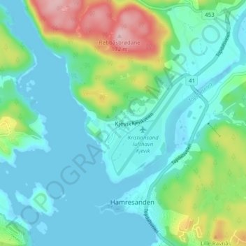
Name: Kjevik topographic map, elevation, terrain.
Location: Kjevik, Kristiansand, West Agder, 4657, Norway (58.18522 8.05712 58.22522 8.09712)
Average elevation: 128 ft
Minimum elevation: -23 ft
Maximum elevation: 548 ft