
La Bastide-l'Évêque topographic map
Interactive map
Click on the map to display elevation.
About this map
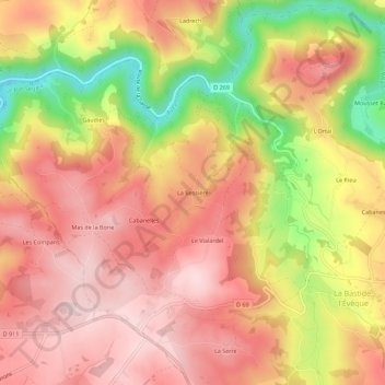
Name: La Bastide-l'Évêque topographic map, elevation, terrain.
Average elevation: 1,575 ft
Minimum elevation: 925 ft
Maximum elevation: 1,952 ft