
Spring Ridge topographic map
Interactive map
Click on the map to display elevation.
About this map
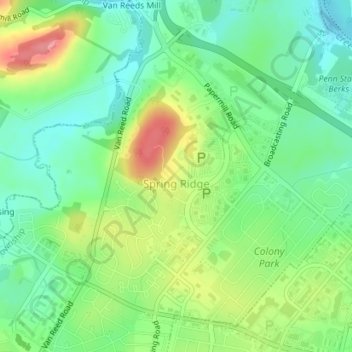
Name: Spring Ridge topographic map, elevation, terrain.
Location: Spring Ridge, Berks County, Pennsylvania, USA (40.34199 -75.99901 40.36306 -75.97820)
Average elevation: 325 ft
Minimum elevation: 220 ft
Maximum elevation: 499 ft