
Plateau-des-Petites-Roches topographic map
Interactive map
Click on the map to display elevation.
About this map
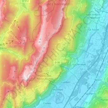
Name: Plateau-des-Petites-Roches topographic map, elevation, terrain.
Average elevation: 3,009 ft
Minimum elevation: 728 ft
Maximum elevation: 6,785 ft