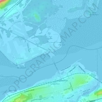
Pointe-à-la-Croix topographic map
Interactive map
Click on the map to display elevation.
About this map
Name: Pointe-à-la-Croix topographic map, elevation, terrain.
Average elevation: 20 ft
Minimum elevation: -13 ft
Maximum elevation: 499 ft

Click on the map to display elevation.
Name: Pointe-à-la-Croix topographic map, elevation, terrain.
Average elevation: 20 ft
Minimum elevation: -13 ft
Maximum elevation: 499 ft