
Schkopau topographic map
Interactive map
Click on the map to display elevation.
About this map
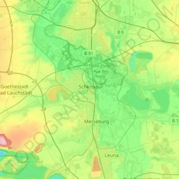
Name: Schkopau topographic map, elevation, terrain.
Location: Schkopau, Saalekreis, Saxony-Anhalt, 06258, Germany (51.33551 11.90338 51.43889 12.18266)
Average elevation: 335 ft
Minimum elevation: 148 ft
Maximum elevation: 722 ft