
Masthope Rapids topographic map
Interactive map
Click on the map to display elevation.
About this map
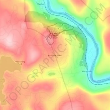
Name: Masthope Rapids topographic map, elevation, terrain.
Location: Masthope Rapids, Pike County, Pennsylvania, 18435, USA (41.49731 -75.04156 41.53731 -75.00156)
Average elevation: 1,027 ft
Minimum elevation: 577 ft
Maximum elevation: 1,345 ft