
Geervliet topographic map
Interactive map
Click on the map to display elevation.
About this map
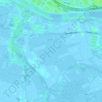
Name: Geervliet topographic map, elevation, terrain.
Location: Geervliet, Nissewaard, Zuid-Holland, Nederland (51.83753 4.24176 51.86826 4.30055)
Average elevation: 0 ft
Minimum elevation: -20 ft
Maximum elevation: 33 ft