
Asaka topographic map
Interactive map
Click on the map to display elevation.
About this map
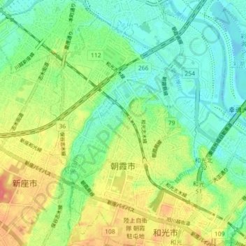
Name: Asaka topographic map, elevation, terrain.
Location: Asaka, Saitama Prefecture, Kanto, Japan (35.77837 139.57278 35.83525 139.62337)
Average elevation: 75 ft
Minimum elevation: -10 ft
Maximum elevation: 194 ft