
Vierpolders topographic map
Interactive map
Click on the map to display elevation.
About this map
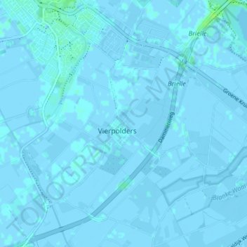
Name: Vierpolders topographic map, elevation, terrain.
Location: Vierpolders, Brielle, Zuid-Holland, Nederland, 3237, Nederland (51.86018 4.16080 51.90018 4.20080)
Average elevation: 0 ft
Minimum elevation: -13 ft
Maximum elevation: 26 ft