
Putumayo topographic map
Interactive map
Click on the map to display elevation.
About this map
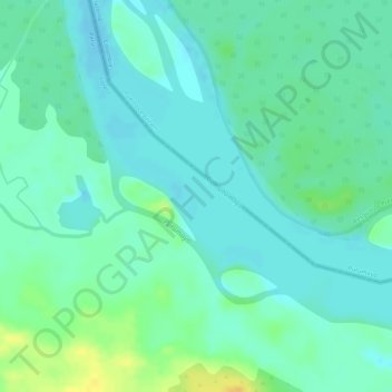
Name: Putumayo topographic map, elevation, terrain.
Location: Putumayo, Teniente Manuel Clavero, Putumayo, Loreto, Peru (-0.46802 -74.53774 -0.45860 -74.52408)
Average elevation: 561 ft
Minimum elevation: 528 ft
Maximum elevation: 620 ft