
Villa Hidalgo topographic map
Interactive map
Click on the map to display elevation.
About this map
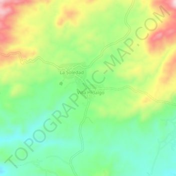
Name: Villa Hidalgo topographic map, elevation, terrain.
Location: Villa Hidalgo, Ometepec, Guerrero, México (16.70722 -98.41806 16.74722 -98.37806)
Average elevation: 1,516 ft
Minimum elevation: 1,112 ft
Maximum elevation: 2,139 ft