
Roermond topographic map
Interactive map
Click on the map to display elevation.
About this map
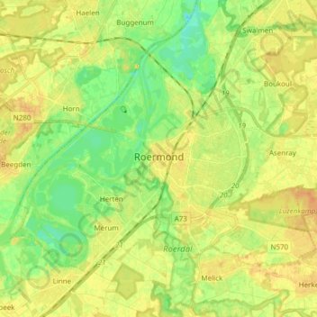
Name: Roermond topographic map, elevation, terrain.
Location: Roermond, Limburg, Netherlands (51.16054 5.92125 51.22499 6.07314)
Average elevation: 82 ft
Minimum elevation: 30 ft
Maximum elevation: 125 ft