
Killeens topographic map
Interactive map
Click on the map to display elevation.
About this map
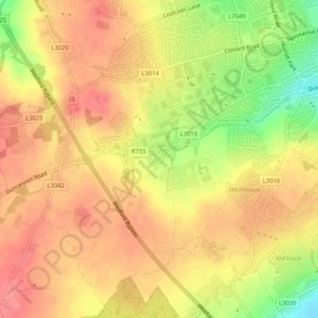
Name: Killeens topographic map, elevation, terrain.
Average elevation: 217 ft
Minimum elevation: 52 ft
Maximum elevation: 305 ft
Other topographic maps
Click on a map to view its topography, its elevation and its terrain.
Ferrybank South
Ferrybank South, Ardcavan, Wexford, County Wexford, Leinster, Y35 AH33, Ireland
Average elevation: 23 ft
Coolballow
Coolballow, Wexford Rural, Wexford, County Wexford, Leinster, Ireland
Average elevation: 141 ft