
Garamur topographic map
Interactive map
Click on the map to display elevation.
About this map
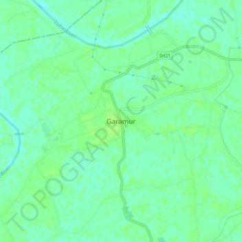
Name: Garamur topographic map, elevation, terrain.
Location: Garamur, Majuli, Assam, 785104, India (26.96031 94.13745 27.00031 94.17745)
Average elevation: 276 ft
Minimum elevation: 256 ft
Maximum elevation: 292 ft