
Zeuthen topographic map
Interactive map
Click on the map to display elevation.
About this map
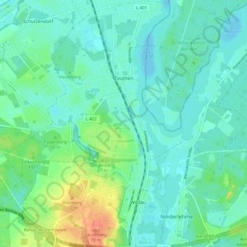
Name: Zeuthen topographic map, elevation, terrain.
Location: Zeuthen, Dahme-Spreewald, Brandenburg, 15738, Germany (52.31063 13.56070 52.36917 13.65411)
Average elevation: 138 ft
Minimum elevation: 105 ft
Maximum elevation: 240 ft