
Punta Sebera topographic map
Interactive map
Click on the map to display elevation.
About this map
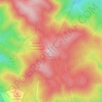
Name: Punta Sebera topographic map, elevation, terrain.
Location: Punta Sebera, Pula, Cagliari, Sardegna, 09010, Italia (39.04732 8.83205 39.04742 8.83215)
Average elevation: 2,667 ft
Minimum elevation: 1,844 ft
Maximum elevation: 3,159 ft
Other topographic maps
Click on a map to view its topography, its elevation and its terrain.