
绕阳河 topographic map
Interactive map
Click on the map to display elevation.
About this map
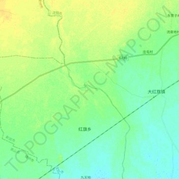
Name: 绕阳河 topographic map, elevation, terrain.
Location: 绕阳河, 新民, 新民市, 沈阳市, 辽宁省, 中国 (41.81018 122.49620 41.94551 122.58440)
Average elevation: 102 ft
Minimum elevation: 72 ft
Maximum elevation: 141 ft
Other topographic maps
Click on a map to view its topography, its elevation and its terrain.