
Garwin topographic map
Interactive map
Click on the map to display elevation.
About this map
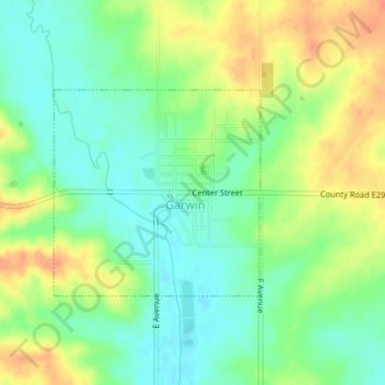
Name: Garwin topographic map, elevation, terrain.
Location: Garwin, Iowa, 50632, United States of America (42.08625 -92.68889 42.10071 -92.66934)
Average elevation: 945 ft
Minimum elevation: 879 ft
Maximum elevation: 1,027 ft