
Kings Canyon topographic map
Interactive map
Click on the map to display elevation.
About this map
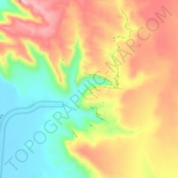
Name: Kings Canyon topographic map, elevation, terrain.
Location: Kings Canyon, Northern Territory, Australia (-24.27189 131.55603 -24.23189 131.59603)
Average elevation: 2,379 ft
Minimum elevation: 1,995 ft
Maximum elevation: 2,753 ft