
Texing topographic map
Interactive map
Click on the map to display elevation.
About this map
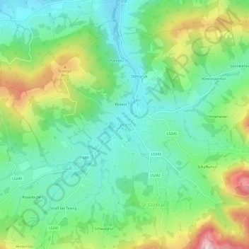
Name: Texing topographic map, elevation, terrain.
Location: Texing, Bezirk Melk, Lower Austria, 3242, Austria (48.02774 15.30239 48.06774 15.34239)
Average elevation: 1,460 ft
Minimum elevation: 1,089 ft
Maximum elevation: 2,244 ft