
Lockhart River topographic map
Interactive map
Click on the map to display elevation.
About this map
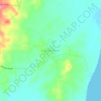
Name: Lockhart River topographic map, elevation, terrain.
Location: Lockhart River, Queensland, Australia (-12.80527 143.32252 -12.76527 143.36252)
Average elevation: 85 ft
Minimum elevation: 0 ft
Maximum elevation: 312 ft