
La Breuvanne topographic map
Interactive map
Click on the map to display elevation.
About this map
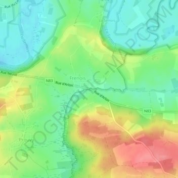
Name: La Breuvanne topographic map, elevation, terrain.
Location: La Breuvanne, Tintigny, Luxembourg, Wallonie, 6730, Belgique (49.69099 5.45232 49.69114 5.45250)
Average elevation: 1,132 ft
Minimum elevation: 1,027 ft
Maximum elevation: 1,286 ft
Other topographic maps
Click on a map to view its topography, its elevation and its terrain.