
Mays Landing topographic map
Interactive map
Click on the map to display elevation.
About this map
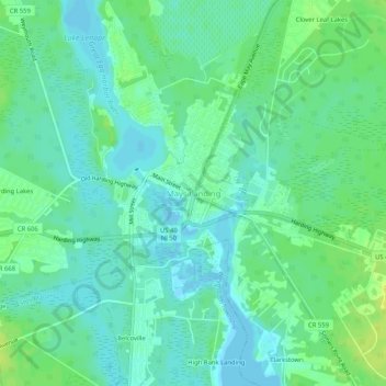
Name: Mays Landing topographic map, elevation, terrain.
Location: Mays Landing, Atlantic County, New Jersey, 08330, USA (39.43233 -74.74766 39.47233 -74.70766)
Average elevation: 23 ft
Minimum elevation: -10 ft
Maximum elevation: 56 ft