
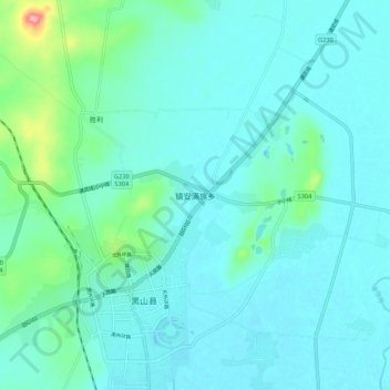
镇安满族乡 topographic map
Interactive map
Click on the map to display elevation.
About this map
Name: 镇安满族乡 topographic map, elevation, terrain.
Location: 镇安满族乡, 黑山县, 锦州市, 辽宁省, 121000, 中国 (41.66918 122.09070 41.74918 122.17070)
Average elevation: 108 ft
Minimum elevation: 49 ft
Maximum elevation: 463 ft