
Paraloup topographic map
Interactive map
Click on the map to display elevation.
About this map
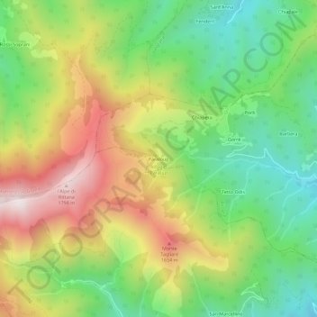
Name: Paraloup topographic map, elevation, terrain.
Location: Paraloup, Rittana, Coni, Piémont, 12010, Italie (44.34094 7.32316 44.38094 7.36316)
Average elevation: 4,177 ft
Minimum elevation: 2,844 ft
Maximum elevation: 5,971 ft
Other topographic maps
Click on a map to view its topography, its elevation and its terrain.