
Quinapoxet River topographic map
Interactive map
Click on the map to display elevation.
About this map
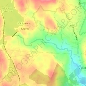
Name: Quinapoxet River topographic map, elevation, terrain.
Average elevation: 722 ft
Minimum elevation: 574 ft
Maximum elevation: 827 ft
Other topographic maps
Click on a map to view its topography, its elevation and its terrain.
Poutwater Pond
USA > Massachusetts > Holden
Poutwater Pond, Mason Road, Holden, Worcester, Massachusetts, 01541, USA
Average elevation: 728 ft