
Barrio Don Pedro topographic map
Interactive map
Click on the map to display elevation.
About this map
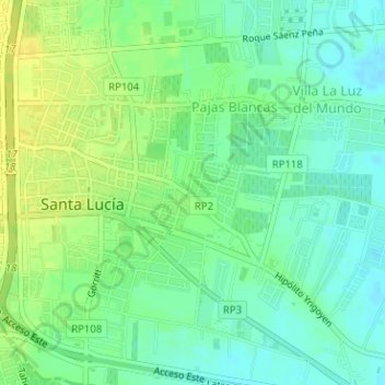
Name: Barrio Don Pedro topographic map, elevation, terrain.
Location: Barrio Don Pedro, Santa Lucía, San Juan, Argentina (-31.53994 -68.48911 -31.53956 -68.48856)
Average elevation: 2,021 ft
Minimum elevation: 1,985 ft
Maximum elevation: 2,060 ft
Other topographic maps
Click on a map to view its topography, its elevation and its terrain.
Las Piedritas
Argentina > San Juan > Santa Lucía > Las Piedritas
Las Piedritas, Santa Lucía, San Juan, J5411, Argentina
Average elevation: 2,037 ft