
城北街道 topographic map
Interactive map
Click on the map to display elevation.
About this map
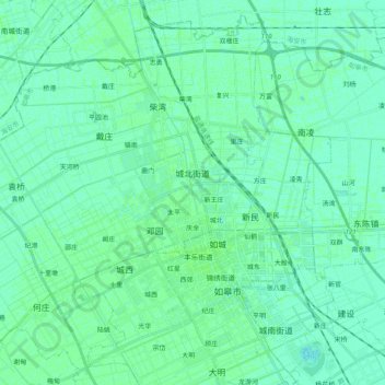
Name: 城北街道 topographic map, elevation, terrain.
Location: 城北街道, 如皋市, 南通市, 江苏省, 226500, 中国 (32.33837 120.39009 32.49479 120.59076)
Average elevation: 20 ft
Minimum elevation: 10 ft
Maximum elevation: 30 ft
Other topographic maps
Click on a map to view its topography, its elevation and its terrain.