
Foumbot topographic map
Interactive map
Click on the map to display elevation.
About this map
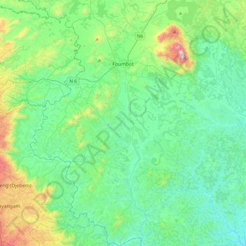
Name: Foumbot topographic map, elevation, terrain.
Location: Foumbot, Noun, OU, Cameroun (5.23685 10.49808 5.60580 10.77992)
Average elevation: 3,543 ft
Minimum elevation: 2,785 ft
Maximum elevation: 6,463 ft