
Punta Peña topographic map
Interactive map
Click on the map to display elevation.
About this map
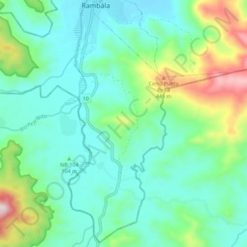
Name: Punta Peña topographic map, elevation, terrain.
Location: Punta Peña, Distrito Chiriquí Grande, Bocas del Toro, Panamá (8.85131 -82.19050 8.93007 -82.14771)
Average elevation: 512 ft
Minimum elevation: 7 ft
Maximum elevation: 2,090 ft