
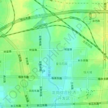
瑞泰公园 topographic map
Interactive map
Click on the map to display elevation.
About this map
Name: 瑞泰公园 topographic map, elevation, terrain.
Location: 瑞泰公园, 刘大郢, 龙岗综合经济开发区, 瑶海区, 合肥市, 安徽省, 中国 (31.88198 117.37550 31.88428 117.37860)
Average elevation: 82 ft
Minimum elevation: 49 ft
Maximum elevation: 118 ft
Other topographic maps
Click on a map to view its topography, its elevation and its terrain.