
Piplantri topographic map
Interactive map
Click on the map to display elevation.
About this map
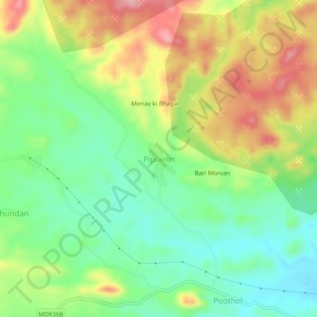
Name: Piplantri topographic map, elevation, terrain.
Location: Piplantri, Rajsamand Tehsil, Rajsamand, Rajasthan, India (25.09262 73.76850 25.13262 73.80850)
Average elevation: 2,169 ft
Minimum elevation: 1,936 ft
Maximum elevation: 2,500 ft