
Golil topographic map
Interactive map
Click on the map to display elevation.
About this map
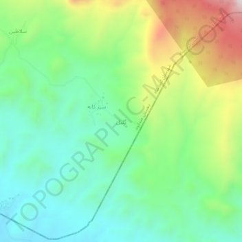
Name: Golil topographic map, elevation, terrain.
Average elevation: 4,685 ft
Minimum elevation: 3,907 ft
Maximum elevation: 6,260 ft
Other topographic maps
Click on a map to view its topography, its elevation and its terrain.
Taveh Miv
Iran > Kermanshah Province > Kermanshah County > دهستان عثمانوند
Taveh Miv, دهستان عثمانوند, بخش فیروزآباد, Kermanshah County, Kermanshah Province, Iran
Average elevation: 4,921 ft