
Pelaw topographic map
Interactive map
Click on the map to display elevation.
About this map
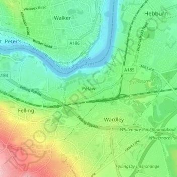
Name: Pelaw topographic map, elevation, terrain.
Average elevation: 167 ft
Minimum elevation: -16 ft
Maximum elevation: 528 ft
Other topographic maps
Click on a map to view its topography, its elevation and its terrain.
Swalwell
United Kingdom > England > Tyne and Wear > Gateshead
Swalwell, Gateshead, Tyne and Wear, North East, England, NE16 3BP, United Kingdom
Average elevation: 174 ft