
Résidence le Hameau topographic map
Interactive map
Click on the map to display elevation.
About this map
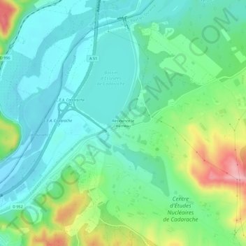
Name: Résidence le Hameau topographic map, elevation, terrain.
Average elevation: 925 ft
Minimum elevation: 778 ft
Maximum elevation: 1,316 ft
Other topographic maps
Click on a map to view its topography, its elevation and its terrain.
Bassin d'Éclusées de Cadarache
France > Provence-Alpes-Côte d'Azur > Bouches-du-Rhône > Saint-Paul-lès-Durance
Bassin d'Éclusées de Cadarache, Saint-Paul-lès-Durance, Aix-en-Provence, Bouches-du-Rhône, Provence-Alpes-Côte d'Azur, France métropolitaine, 13115, France
Average elevation: 860 ft