
Trap Pond topographic map
Interactive map
Click on the map to display elevation.
About this map
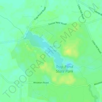
Name: Trap Pond topographic map, elevation, terrain.
Location: Trap Pond, Loop E, Pepper, Sussex County, Delaware, USA (38.51900 -75.48247 38.52973 -75.46740)
Average elevation: 46 ft
Minimum elevation: 20 ft
Maximum elevation: 79 ft