
Loango topographic map
Interactive map
Click on the map to display elevation.
About this map
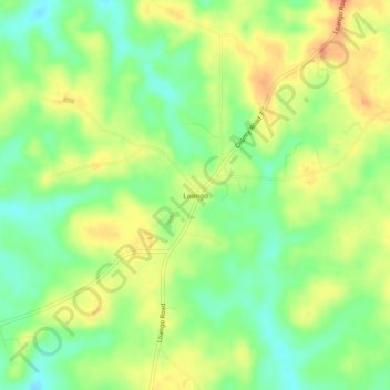
Name: Loango topographic map, elevation, terrain.
Location: Loango, Covington County, Alabama, États-Unis d'Amérique (31.30961 -86.66885 31.34961 -86.62885)
Average elevation: 289 ft
Minimum elevation: 210 ft
Maximum elevation: 374 ft