
Martletwy topographic map
Interactive map
Click on the map to display elevation.
About this map
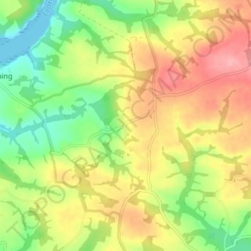
Name: Martletwy topographic map, elevation, terrain.
Location: Martletwy, Pembrokeshire, Wales, SA67 8AR, United Kingdom (51.74069 -4.86764 51.78069 -4.82764)
Average elevation: 174 ft
Minimum elevation: 0 ft
Maximum elevation: 361 ft