
la Pobla de Lillet topographic map
Interactive map
Click on the map to display elevation.
About this map
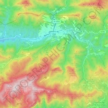
Name: la Pobla de Lillet topographic map, elevation, terrain.
Location: la Pobla de Lillet, Berguedà, Barcelona, Cataluña, España (42.19407 1.91431 42.25948 2.03018)
Average elevation: 3,930 ft
Minimum elevation: 2,526 ft
Maximum elevation: 5,807 ft
Other topographic maps
Click on a map to view its topography, its elevation and its terrain.