
Tanca Tanca topographic map
Interactive map
Click on the map to display elevation.
About this map
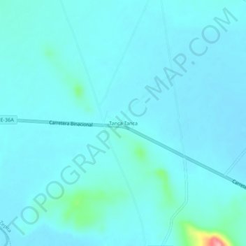
Name: Tanca Tanca topographic map, elevation, terrain.
Location: Tanca Tanca, Zepita, Province of Chucuito, Puno, Peru (-16.58447 -69.28734 -16.54447 -69.24734)
Average elevation: 12,648 ft
Minimum elevation: 12,605 ft
Maximum elevation: 13,048 ft