
Vallone del Bourcet topographic map
Interactive map
Click on the map to display elevation.
About this map
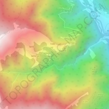
Name: Vallone del Bourcet topographic map, elevation, terrain.
Location: Vallone del Bourcet, Roure, Torino, Piemonte, Italia (44.98334 7.08562 44.99524 7.13387)
Average elevation: 4,879 ft
Minimum elevation: 2,703 ft
Maximum elevation: 7,113 ft