
Torrejoncillo topographic map
Interactive map
Click on the map to display elevation.
About this map
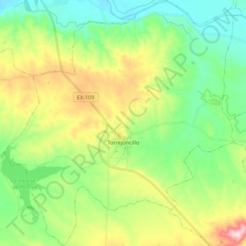
Name: Torrejoncillo topographic map, elevation, terrain.
Location: Torrejoncillo, Cáceres, Extremadura, España (39.84694 -6.54042 39.96420 -6.39250)
Average elevation: 1,053 ft
Minimum elevation: 728 ft
Maximum elevation: 1,696 ft