
Axtla de Terrazas topographic map
Interactive map
Click on the map to display elevation.
About this map
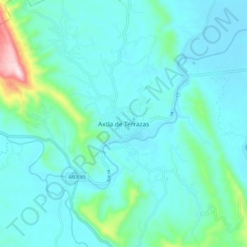
Name: Axtla de Terrazas topographic map, elevation, terrain.
Location: Axtla de Terrazas, San Luis Potosí, 79930, México (21.39978 -98.91358 21.47978 -98.83358)
Average elevation: 420 ft
Minimum elevation: 200 ft
Maximum elevation: 1,772 ft