
Tincup topographic map
Interactive map
Click on the map to display elevation.
About this map
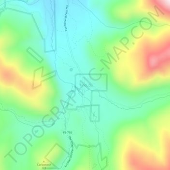
Name: Tincup topographic map, elevation, terrain.
Location: Tincup, Gunnison County, Colorado, United States (38.73523 -106.49985 38.77523 -106.45985)
Average elevation: 10,564 ft
Minimum elevation: 9,944 ft
Maximum elevation: 11,841 ft
Tincup is at an elevation of 10,157 feet (3,096 m) at 38°45′16″N 106°28′42″W / 38.75444°N 106.47833°W / 38.75444; -106.47833.