
Fischbeck (Elbe) topographic map
Interactive map
Click on the map to display elevation.
About this map
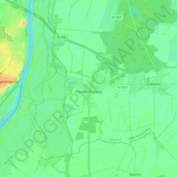
Name: Fischbeck (Elbe) topographic map, elevation, terrain.
Average elevation: 112 ft
Minimum elevation: 79 ft
Maximum elevation: 164 ft
Other topographic maps
Click on a map to view its topography, its elevation and its terrain.
Wust
Deutschland > Sachsen-Anhalt > Stendal > Wust-Fischbeck
Wust, Wust-Fischbeck, Elbe-Havel-Land, Stendal, Sachsen-Anhalt, Deutschland
Average elevation: 112 ft