
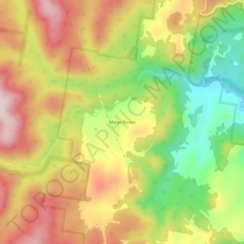
Mares Forest topographic map
Interactive map
Click on the map to display elevation.
About this map
Name: Mares Forest topographic map, elevation, terrain.
Average elevation: 2,549 ft
Minimum elevation: 1,844 ft
Maximum elevation: 3,205 ft
Other topographic maps
Click on a map to view its topography, its elevation and its terrain.
Wombeyan Caves
Australia > New South Wales > Wombeyan Caves
Wombeyan Caves, Upper Lachlan Shire Council, New South Wales, Australia
Average elevation: 2,283 ft