
Stade topographic map
Interactive map
Click on the map to display elevation.
About this map
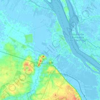
Name: Stade topographic map, elevation, terrain.
Location: Stade, Stade (arrondissement), Basse-Saxe, Allemagne (53.53862 9.37406 53.70120 9.55063)
Average elevation: 13 ft
Minimum elevation: -16 ft
Maximum elevation: 115 ft