
Bois-de-Lessines topographic map
Interactive map
Click on the map to display elevation.
About this map
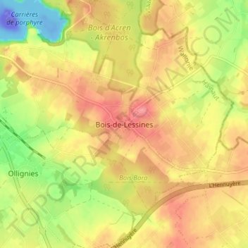
Name: Bois-de-Lessines topographic map, elevation, terrain.
Location: Bois-de-Lessines, Hainaut, Wallonie, 7866, Belgique (50.67530 3.86563 50.71530 3.90563)
Average elevation: 141 ft
Minimum elevation: -361 ft
Maximum elevation: 249 ft